Areas of Interest (AOIs)
What are Areas of Interest?
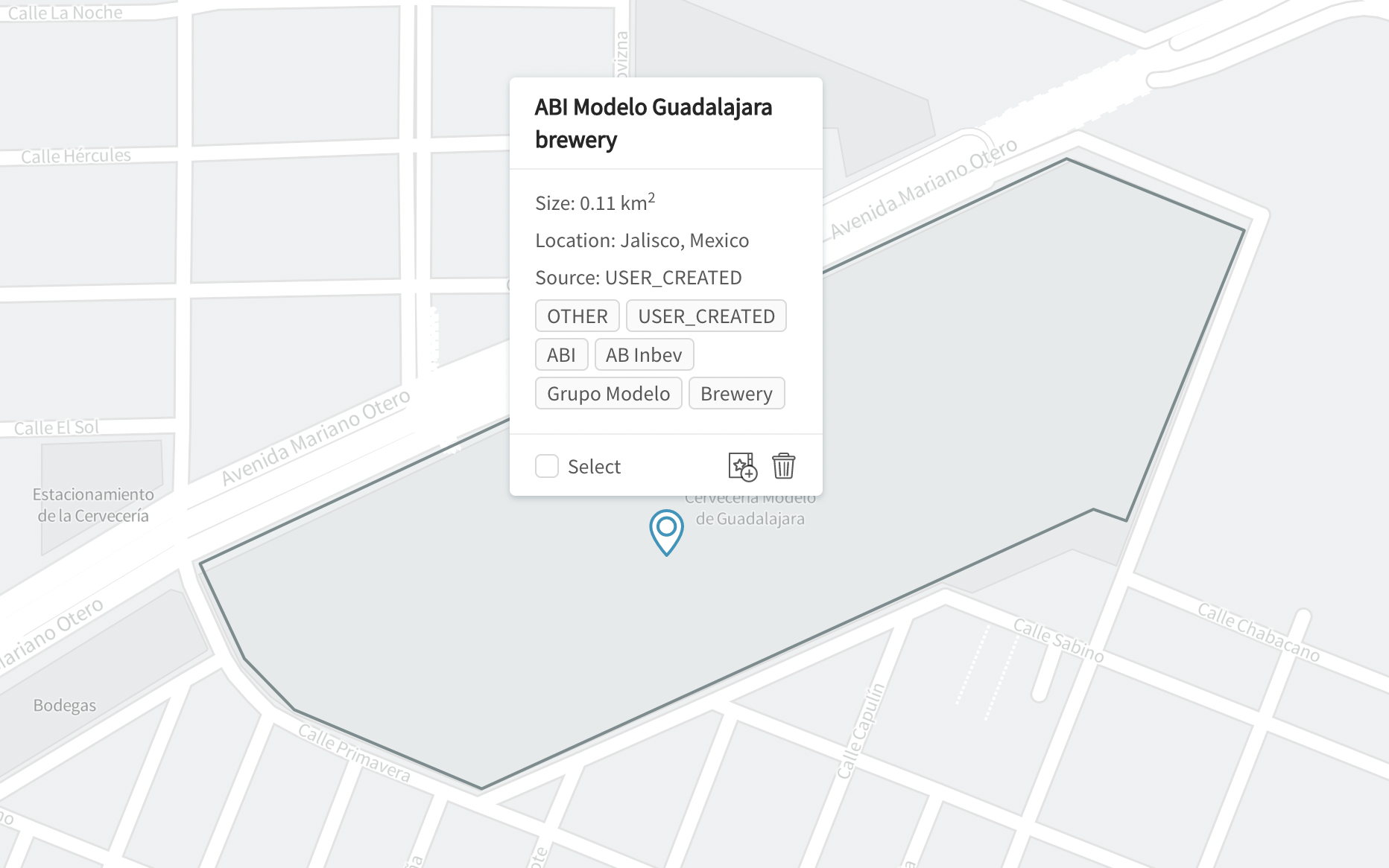
Areas of Interest (AOIs) let you determine where to run analysis of geospatial data. Each AOI corresponds to a polygon in geographic coordinates (latitude / longitude) defining an area on the Earth.
AOIs are created within projects. Each project may have multiple AOIs.
Some other terms for AOIs include: polygons, boundaries, geofences.
For example, with imagery-based algorithms, AOIs define the exact extents of imagery to be ordered & analyzed with computer vision algorithms. With geolocation & other location data-based algorithms, AOIs define geographic boundaries within which to query & analyze raw location data.
AOIs in GO take the form of polygons (or multipolygons) specified in geographic coordinates (WGS84).

Example of an AOI demarcating a Modelo brewery
AOIs are locked once a project is run
Note that project AOIs are locked once a project has been run, such that you cannot add / edit / delete AOIs.
This is to ensure that project results are tightly coupled to the AOIs that were used to generate those results.
Updated about 3 years ago
AOIs may be created and edited in many different ways. Learn more about how to configure AOIs for your project: